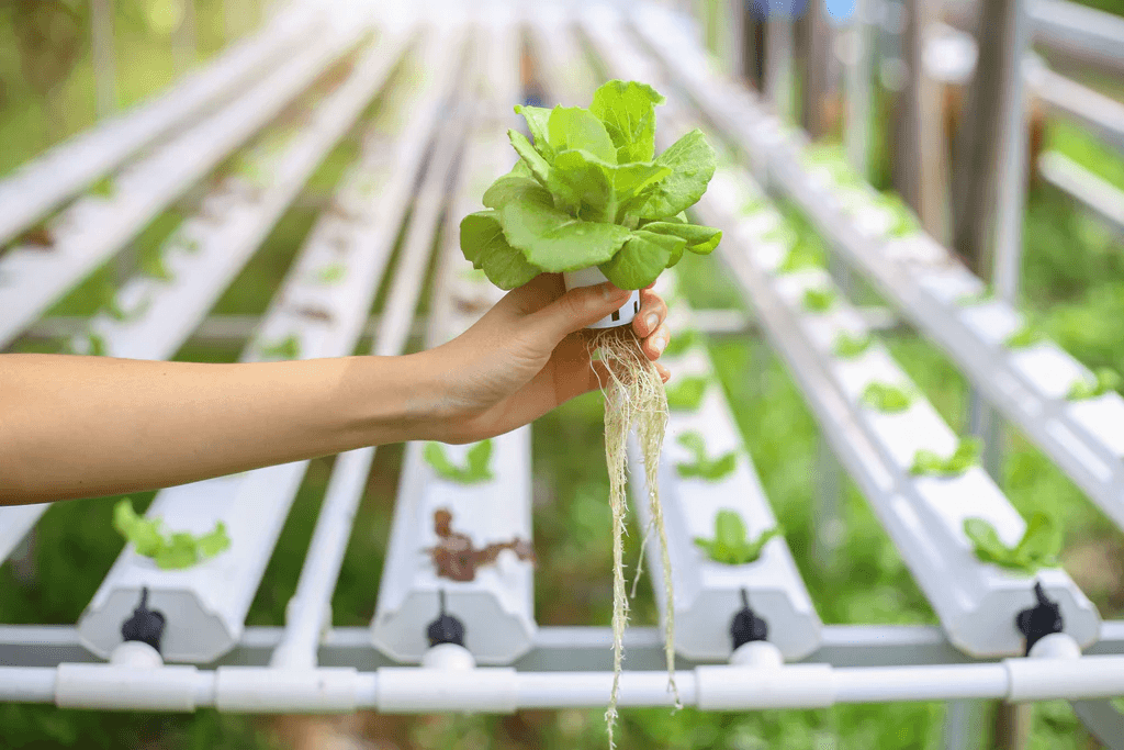
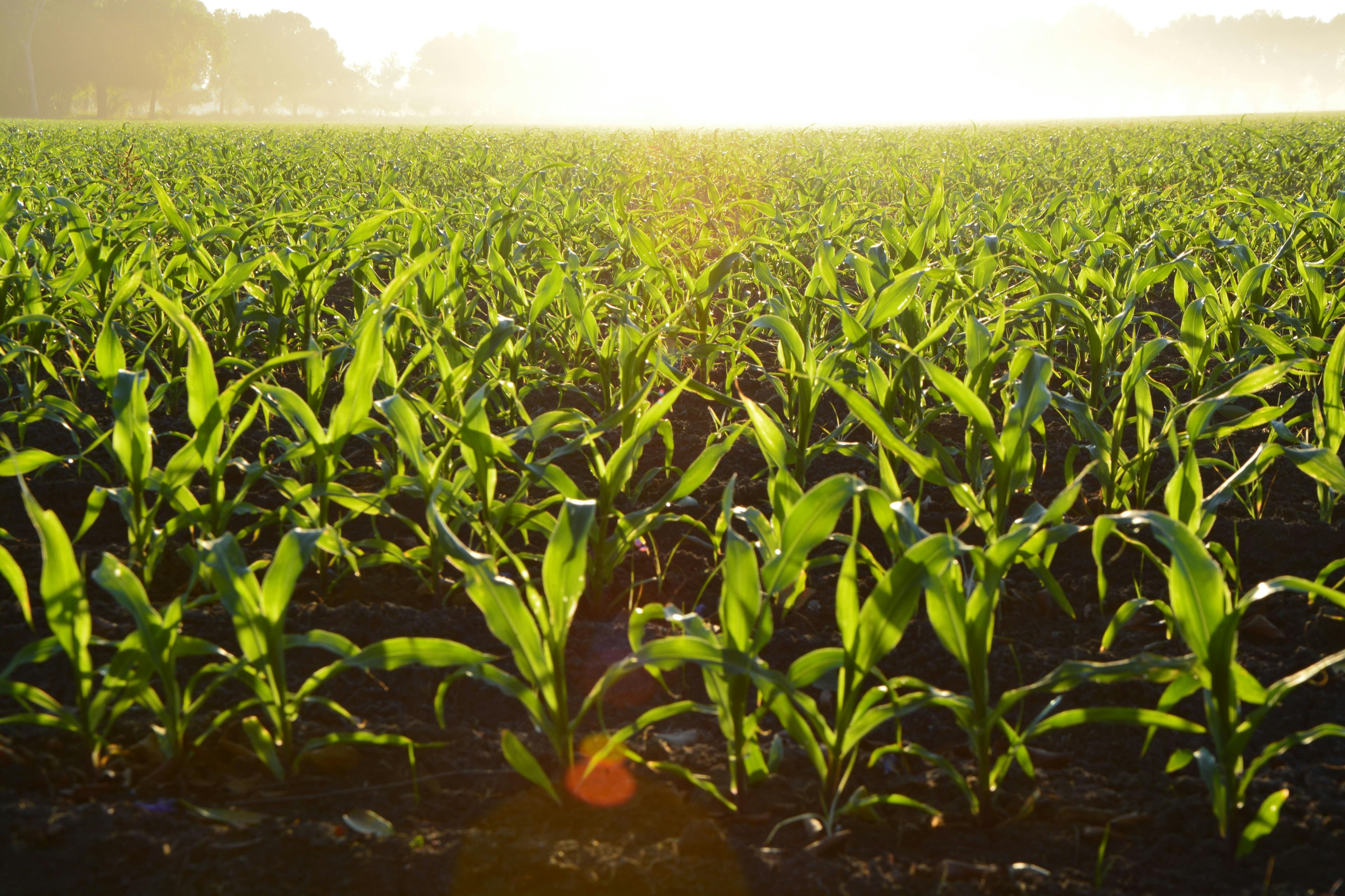
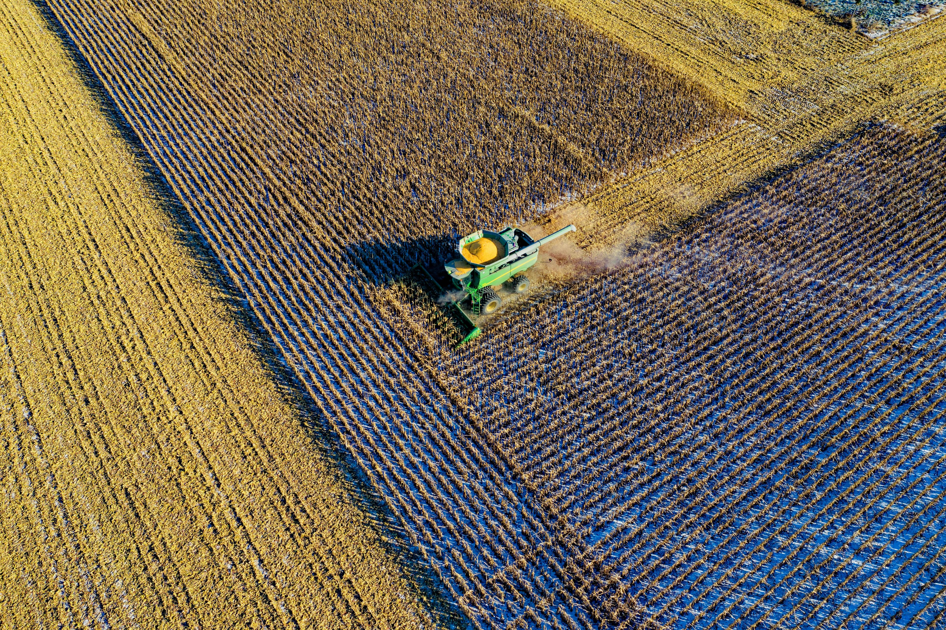
Farmers Need An App To Help Them Analyze Satellite Data To Tackle Weather, Water Content, Pest, And Disease Challenges, Enhancing Crop Health And Resilience


Leveraging Advanced Satellite Data To Deliver Precise Measurements And Insights, Empowering Informed Decision-Making And Sustainable Solutions Across Diverse Sectors
Unlocking Insights From Satellite Data To Create Precise, Dynamic Maps That Empower Decision-Making And Drive Sustainable Solutions
Leveraging Cutting-Edge Satellite Technology, We Provide Actionable Geospatial Insights To Drive Informed Decision-Making And Enhance Spatial Analysis Across Diverse Industries
We'd Love To Hear From You! Whether You Have Questions About Crop Monitoring, Need Assistance With Your Account, Or Want To Explore Partnership Opportunities, Feel Free To Reach Out